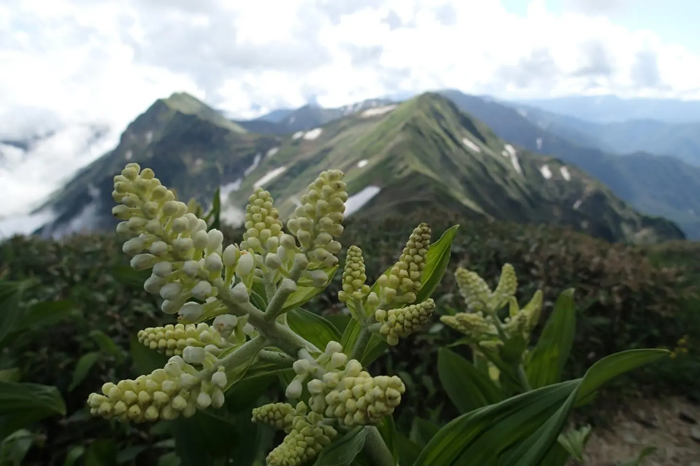
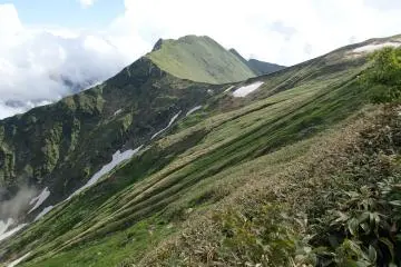
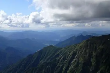
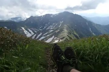
As with most avid hikers, I can spend hours gazing at a trail map. This is not because I'm lost; most of my time spent staring is in the comfort of my house, waiting for my next day off to explore. Altitude lines dance with color, punctuated with peak names and criss-crossed with trails. Possibilities dance through my head as I imagine possible views and obstacles. The hike to this peak was no different. I had long wanted to try my hand at multi-day hiking in this area, but was unsure of what to expect (shelter and water wise), as most of the trail notes on my maps are in Japanese. On the first day I climbed the Niigata side of the valley, reaching an emergency shelter just before sunset.
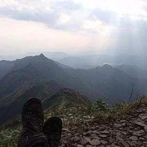
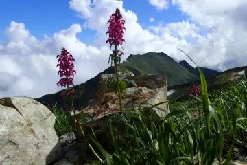
Just getting above the tree line (Photo: Matthew Shewchuk)
Oct 31, 2013 - 1 min read
Going up to Sennokuro-san
Day one of a two day hike


+2
Information
/138.84006500244,36.818235968307,9/397x132?access_token=pk.eyJ1IjoiamFwYW50cmF2ZWxtYXBzIiwiYSI6ImNqbXBtOXYxbDB5Z3ozbHFrazJuYWMwOGYifQ.v15fy_mcFWtgopmz8PhwqA)
Top Articles
Recommended
Popular