
After an hour's bus ride, the mountainous landscape appears in the west of Tokyo’s countryside. Fresh air comes into your body, and birds' chirping sounds fill your mind. Mount Mitou is one of Japan's top three hundred mountain destinations (日本三百名山). You will be traversing through beech forests to the peaks and glimpsing Mt. Fuji on the summit of Mt. Mitou.
See a short video of my journey:
As opposed to Mount Takao, the most popular hiking spot in Tokyo, there are few hikers and trail runners. For sure that you will appreciate the less crowded and peaceful vibe in Tokyo. Besides, in winter, you will mostly hear the sound of walking on fallen leaves while hiking.
According to the Tokyo Metropolitan government website, the name of Mount Mitou derives from the three peaks: West Peak, East Peak, and Central Peak at 1531 meters in elevation.
There are various ways to approach Mount Mitou for beginners to advanced climbers. Please be aware of the public transit schedule. From December to March, there is no public bus service to Okutama Citizen's Forest (Hinohara Tomin no Mori), where the standard route begins. Yet, there are various routes to hike up the mountain. I climbed the mountain in February and took an intermediate trail.
I hiked for eight hours but stopped several times to shoot the spectacular views, including the frozen Mitou waterfall and Mount Fuji at the summit of Mt. Makiyose.
Here is an itinerary:
- 07:00 am Musashi-Itsukaichi station
- 08:20 am Start hiking
- 09:45 am Nishihara Peak
- 09:50 am Mount Makiyose (1,188 m)
- 10:50 am Hachizasu Sawa No Atama
- 11:05 am Mount Osawa (1,485 m)
- 11:35 am Mount Mitou at West side (1,524.5 m)
- 02:00 pm Mitou waterfall
- 04:10 pm Finish
1: Musashi-Itsukaichi station

Here is the terminal of the JR Musashi-Itsukaichi line. No.2 buses for Kazuma leave in front of the station. It takes around 60 minutes to get to the Naka No Daira bus stop, where it has access to the local hiking trail. There is no convenience store near the Naka No Daira bus stop, so bring necessary items beforehand.
2: Naka No Daira bus stop

A public washroom is 3 to 5 minutes away from the bus stop. Before trekking, I recommend going there. The next bathroom would be at the Mitou Refuge hut, which is around Mount Osawa.
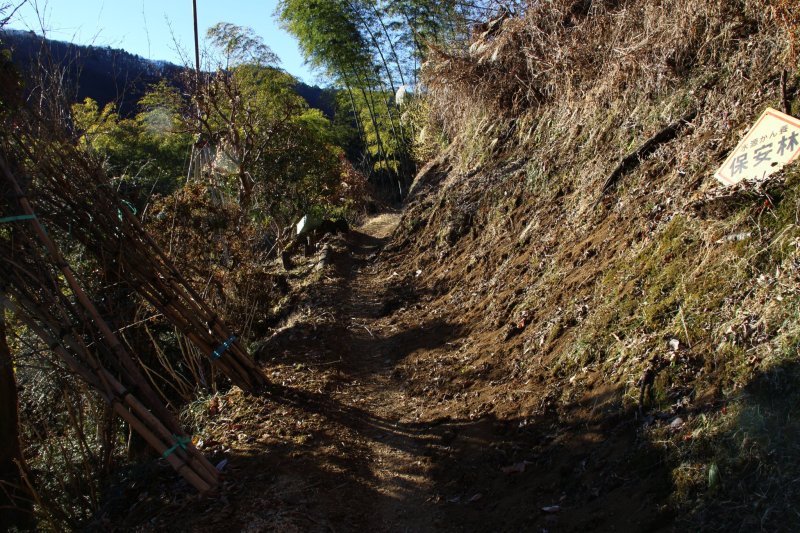
When the roadway ends, you can enter the trail from the hill directly in front of the home. I almost got lost, but a resident kindly called me and pointed out the route.

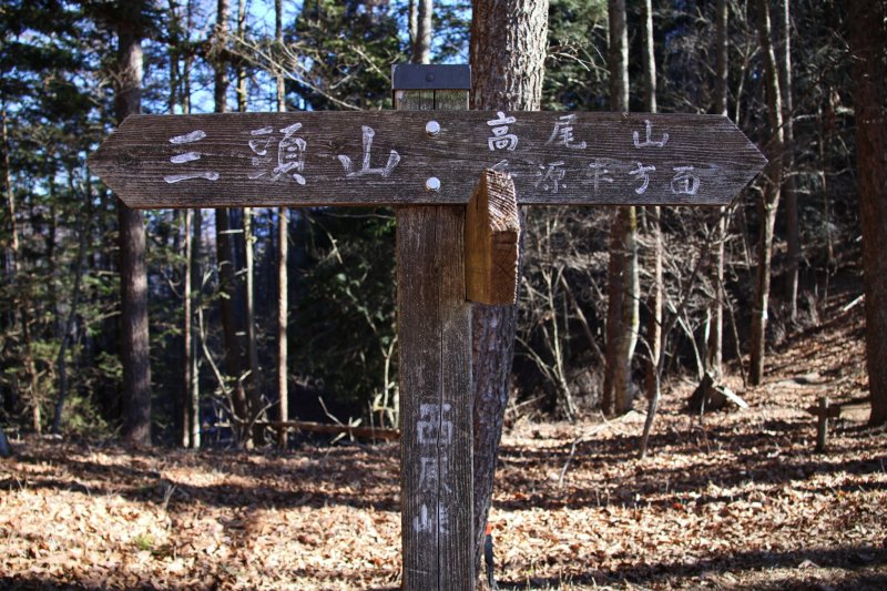
3: Nishihara Peak

After trekking through narrow terrain for an hour and a half, you will reach the first crest of the hill, Nishihara Peak.


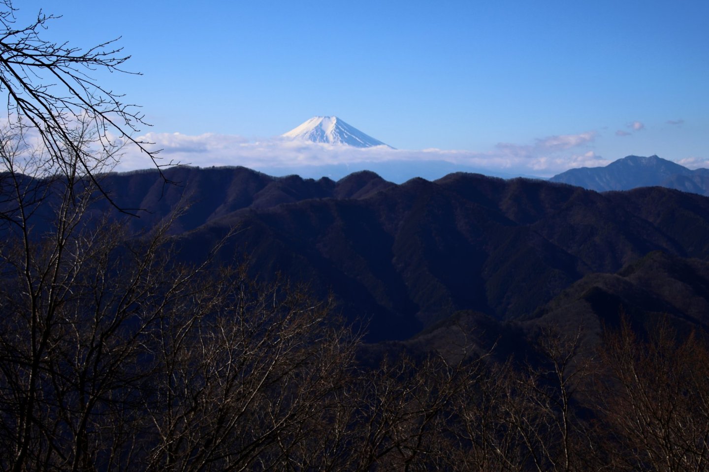
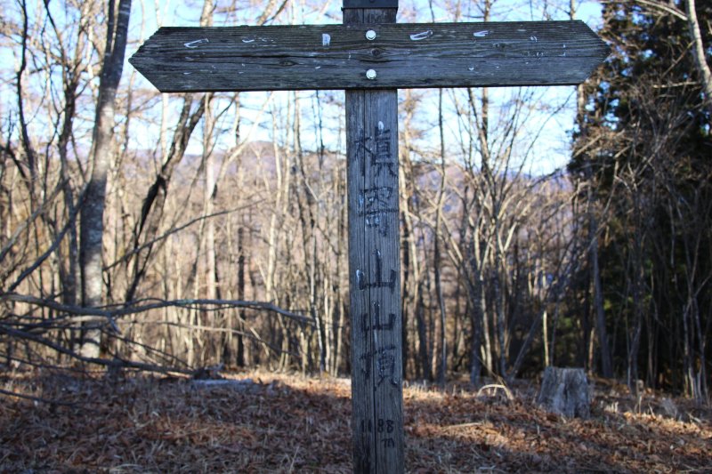
4: Mount Makiyose (1,188 m)

Please take some time to glance at Mount Fuji if you see it. There is no guarantee of another glimpse at Mt. Fuji at the summit of Mount Mitou, and I only captured it here.

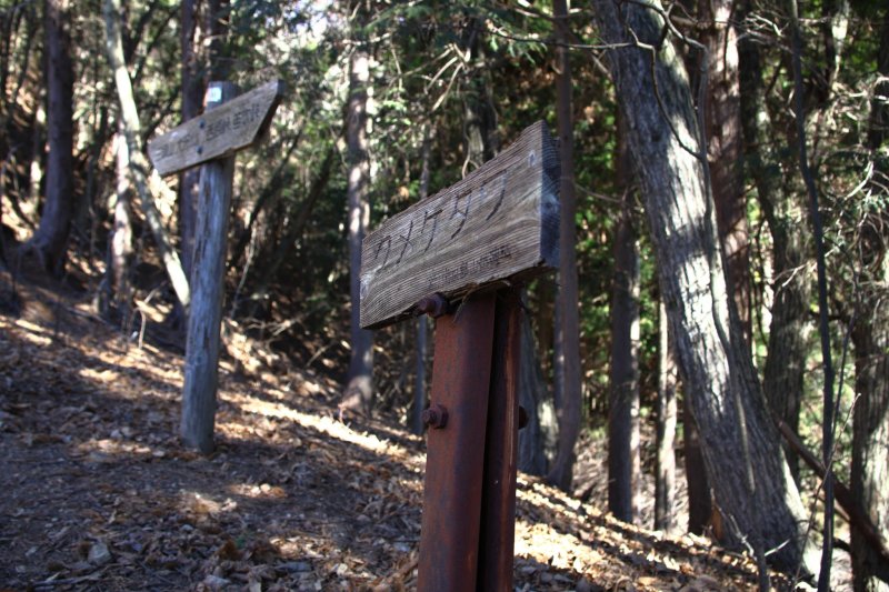
The sign of Kumeke Tawa (クメケ タワ). 
It is said that "Tawa" means the lowest point between peaks, which is like a mountain pass or a col. From here, not to mention, it will continue steep hills. 
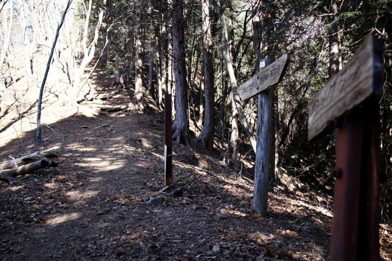
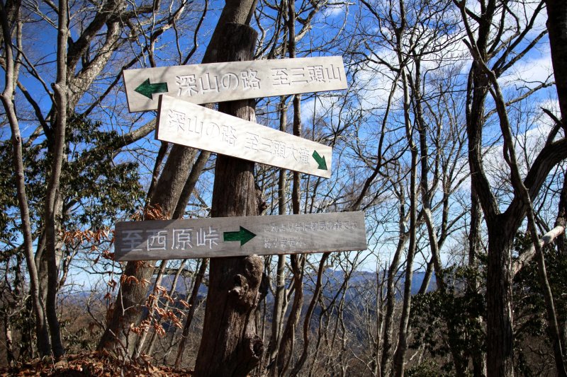
5: Hachizasu Sawa No Atama

After climbing numerous rocky paths, you can rest on a bench at Hachizasu Sawa No Atama.

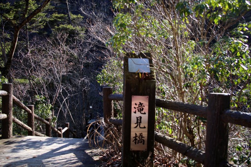
It is a junction point; it splits two ways for Mount Mitou (三頭山) or Mitou waterfalls (三頭大滝) here. Go straight toward the summit of Mt Mitou.
6: Mount Osawa (1,485 m)

There is another bench on the peak. After walking around 5 minutes from Mount Osawa, you will find a log cabin called Mount Mitou Refuge hut. It is well maintained and can take a bathroom break.

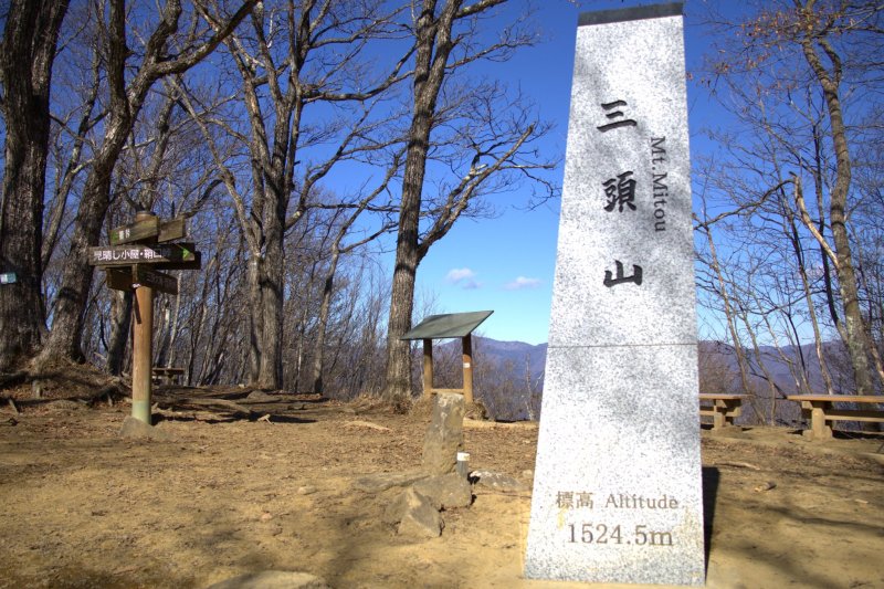
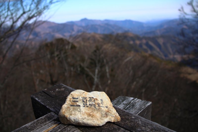
7: Mount Mitou (1,524.5 m)

When following the trekking trail, you will reach the west side of the top first. If you are lucky, you will see the gorgeous view of Mount Fuji from here, as well as the Okutama mountains on the other side. There are plenty of benches in the West and tables in the Centre.

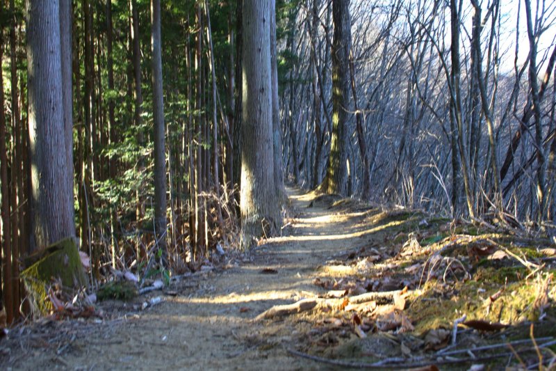
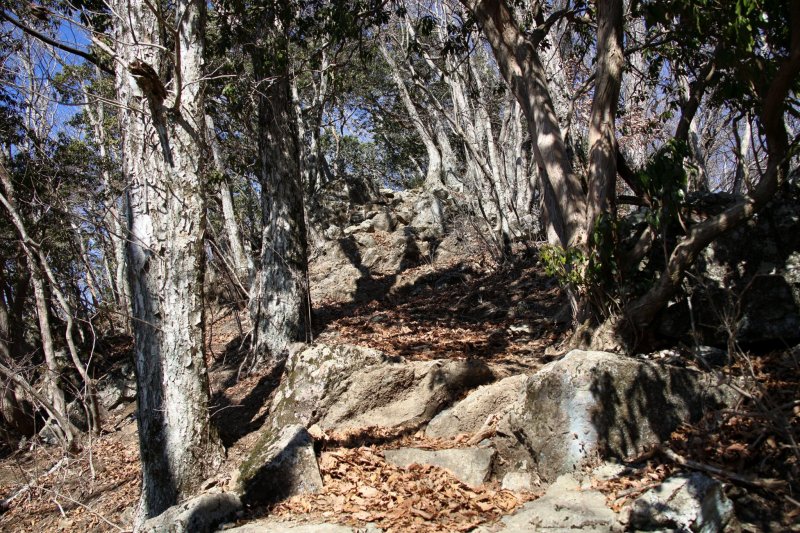
It featured many steep ascents from Nishihara Peak to Mount Mitou, and some parts consisted of rocks. No specific gear to go through, but be ready to use both hands to climb, especially if you are short like me (5 ft).


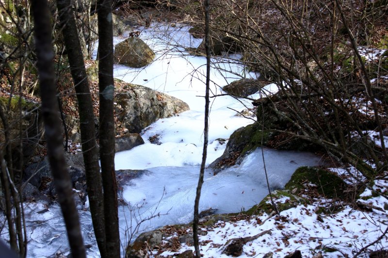
8: Mitou waterfall

The waterfall cascades down some 35 meters and a suspension bridge allows you to get closer to it. But in winter, the falls freeze partially and show another nature's beauty.
9: Hot spring at one of the historical facilities

Otsukare sama deshita. To heal your legs, I stopped by Takara-sou for a bath. Janoyu Onsen Takara-sou is the only inn in Tokyo that is a member of the Japan Association of Secluded Hot Springs.
The Japan Association of Secluded Hot Springs runs for the preservation and conservation of the natural environment. It was founded in 1975 by a group of 33 inns in small mountainous areas. Currently, more than 180 inns throughout Japan are members, according to the association site.
Takara-sou has a magnificent Kabuto-zukuri roof. The traditional house has been preserved since the Edo period (1603-1868). The bath is very simple; there is no open-air bath, but lukewarm water will refresh your fatigues thoroughly. (1,000 yen for an adult)

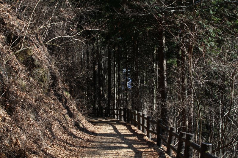
Overall it was around a 16 km hike and took me about 8 hours to complete. A shorter course would be from Tomin no Mori to Mount Mitou, passing by the falls. It will take an average of two hours to reach the summit. Moreover, there is a path called Forest therapy road that is paved with wooden chips, and the road continues till the waterfalls. If you bring around nature and walk around, this is one I recommend you to try.


")


