
Northern Nagano Prefecture has been growing in population and development lately, particularly in Iiyama, the prefecture's north most city along the banks of the Chikuma River. A drive along the main route will show how things have changed, with supermarkets, home centers and book stores all built in a large scale that doesn't seem to fit with the area.
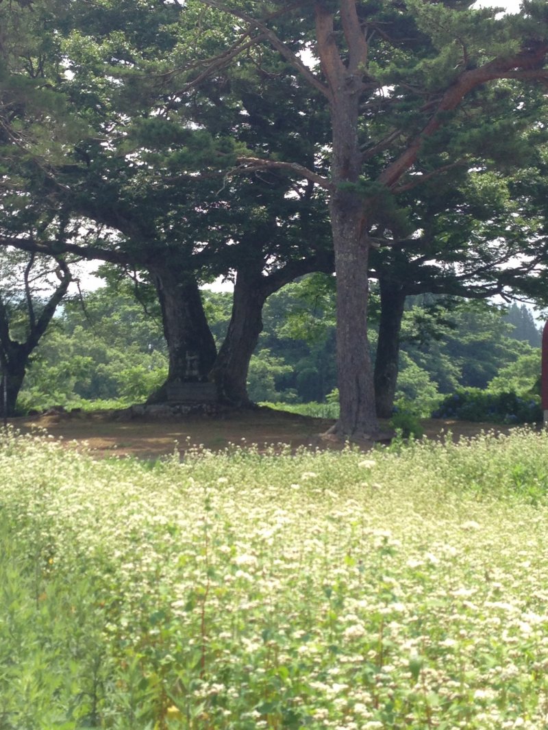
Head uphill from the river and you will find yourself a world away, in what seems like the most remote areas you could possibly get to on Honshu. Those lucky enough to find the neighborhood known as Karayama will find no restaurants, no service stations, no public services of any kind. Only old farmhouses and farming fields, several planted with soba, or buckwheat noodles.
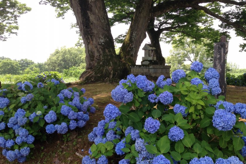
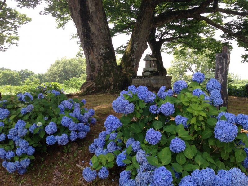
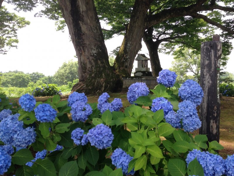
But if you have made it up this far, there is a surprise for you. Off the side of the main road going through this barely populated area, you may notice a large keyaki tree, ringed by blue-flower hydrangeas. A small Shinto shrine sits under the tree's huge boughs. This is Kumano Shrine, a delightful little spot to sit in the shade, relax and enjoy the quiet surroundings. It is also the site of a rather lively local summer festival. Even in these areas, where few people live, they still know how to have a good time!
There are plenty of shrines in Japan that have this interesting name, Kumano, meaning "bear field". It is particularly fitting at this location. Aside from the few old farmhouses across the street and the farm fields and race paddies all around, there is nothing else but nature. Traffic rarely comes along, as this part of the road is often considered the end of the line. It is literally the last settlement along this stretch of highland, and in the winter months, the road is closed, as it is unplowed, a short ways north of the shrine.
Getting here is easy with a car and GPS. Without it, however, it is a real challenge. In this case, the best option is to take the Iiyama Line to Kuwanagawa Station. From there, if you're lucky there might be a taxi to hop into, but don't count on it! It will take about 45 minutes to a hour to walk up to the shrine. Go toward the river to Route 403 and turn right, heading along this road for about 200 meters. Just before the police station and post office, turn right and head uphill. The road will wind up the mountain for about 3 km. When the terrain finally levels out and you are out of the woods, take the second right (the road you have been on will continue straight, but you will take a diagonal right turn). Walk another half kilometer and you will see the shrine under the tree on the left.
Once there, enjoy the surroundings. And rest up, because if you walked here, you will have to walk back afterwords. Thankfully it is downhill going back!


")
")


