Mt. Tenran (195 meters) and Mt. Tonosu (271 meters) are a pair of easy mountains that, when climbed together, make for a fun and beautiful hike that's quite easy for people of all skill levels. However, navigating through different mountain trails can be a little intimidating if you don't know the area well. Here is a step-by-step guide that will get you from the train station, through the course, and back again. The trails contain many signs which are written in English, but be sure to note how the key places are written in Japanese for the signs that are not bilingual. This is a nice day hike that is quite manageable coming from Tokyo.
From Hanno Station to Mt. Tenran, via the Kannon Temple
From the North Exit of Hanno Station (Seibu Ikebukuro Line), turn left down the city's main shopping street. At the large intersection (where you see a Shidax karaoke building), turn left. At the end of that road, you will see the Hanno Central District Administration Center, a large gray building with a big opening in the bottom you can walk through. Turn right, and just across the intersection you will see the Kannon Temple. The Kannon Temple is small but beautiful, and features a distinctive statue of a white elephant. If you look to the left and through the trees, you can see a riverbed with a large red bridge over it. This will be an important landmark later in this hike. A small path from the main temple area leads through a cemetery and trees to a secondary area with more temple buildings and statues. Proceed through this area and take the rear exit, where you will see a small intersection. Turn right here, and take that street to the end. Turn right again. On your right-hand side, you will see Central Park (中央公園, Chuo-koen), featuring a statue of Astro Boy. On your left, you will see an entrance road leading to Mt. Tenran (天覧山, Tenran-zan). It's about a 20-minute walk from the station to this point, and there are signs along the way pointing towards the mountain.
Ascending Mt. Tenran
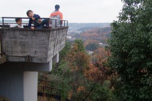
Walk up the entrance road to Mt. Tenran, and the road will soon become a path leading up the mountain. You will see a large monument on the left. Tenran-zan is a small mountain that feels more like a hill, and can be climbed quickly and easily. Along the way, you will see a collection of 16 stone rakan statues in a rocky wall. At the peak of the mountain, there is an observation deck with wonderful views of the city, nearby mountains, and even Mt. Fuji.
Descending Mt. Tenran and finding Mt. Tonosu
From the peak of the mountain, you will find a route leading back, in the opposite direction of the observation deck (you will see signs pointing towards Mt. Tonosu). Take this path downwards, past some nice resting huts. This path will lead you to the bottom of the mountain, and into a flat, grassy area. You will see some wooden signs pointing you to the right, towards Mt. Tonosu (多峰主山, Tonosu-yama). Follow this a short way, and you will soon see a trail leading up another mountain, with a lot of stairs on it. This is the correct way to go - ignore a trail leading off to the right through a meadow and towards some far mountains.
Ascending Mt. Tonosu
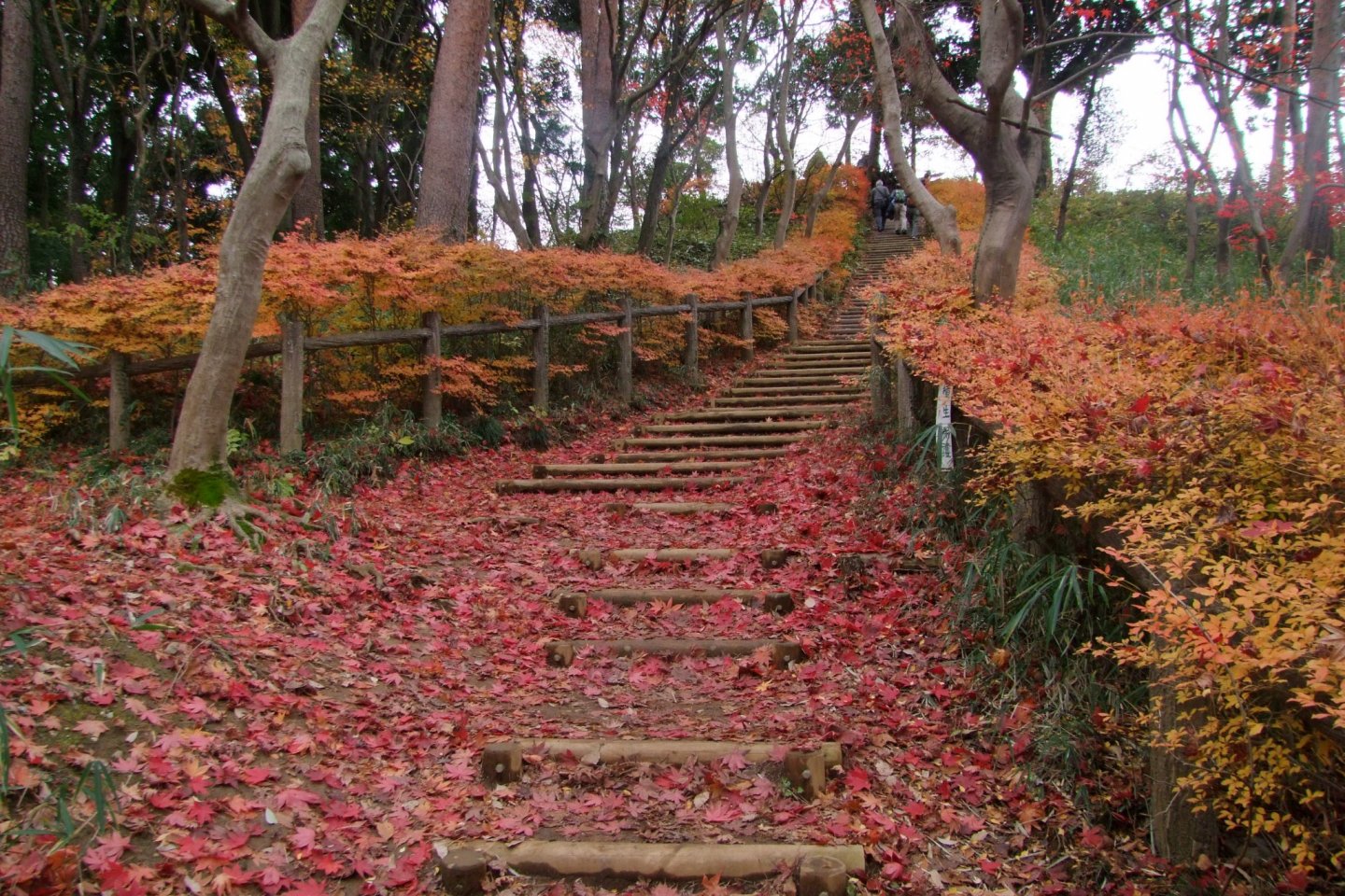
The stairs are the beginning of Mt. Tonosu. The trail is quite straight-forward and easy to follow. You will pass a large, colorful area map that would be handy to photograph - it shows not only the mountain, but a lot of the surrounding areas as well. Just past the map, you'll see a flat trail leading off to the left, or another trail leading upwards. This is the way to the mountain's peak. The top of the mountain has some wonderful scenery, and is a great place to set up for a food break.
Descending Mt. Tonosu
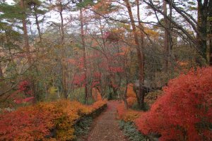
From the peak, there is a trail leading down the opposite way from where you came up to the summit. Follow this path down. It will lead you past the magnificent grave of Naokuni Kuroda and to the Amagoi Pond (雨乞池, Amagoi-no-ike). At the pond, take the trail to the right, going upwards (there is another trail leading straight - this is the flat trail that will lead you back to the colorful map just before the peak of Mt. Tonosu). At the top of the trail above the pond is a scenic viewpoint with some excellent views of the surrounding mountains and areas. After enjoying the view, turn right and follow the trail all the way down the mountain. It's quite scenic, and easy to follow the trial - nowhere to get turned around. At the bottom, walk through a grassy area and towards the town. You'll pass under a large metal torii gate, and you will be on a street.
Returning to Hanno Station
On the street, you can turn right and find the Nagata-Osugi Bus Stop, where you can board a bus that will take you back to the station.
Or, you can turn left and continue back on foot. Follow the road that you're on for awhile (there isn't a very wide walking area, so be careful of traffic). Eventually you will come to a blue bridge on your right going over a river. This is the Do-Re-Mi-Fa Bridge (ドレミファ橋) (yes, really) leading over the Iruma River (入間川, Iruma-gawa). Cross the bridge, and then turn left and continue to follow the river. You won't be able to follow the shoreline and will have to walk through some residential areas, but do your best to stay near the river and continue walking in that direction. Eventually, the road will turn 90 degrees to the right, but you can find a walking path leading down a little hill. Follow this downward, and you will be at the Hanno Riverbed and Wareiwa Bridge. After enjoying the beautiful scenery along the river, cross the bridge to the opposite side of the river, walk down to the stony riverbank again, and walk towards the right, where you can see the city. There is a staircase leading upwards, which takes you to the Hanno Central District Administration Center, which you walked past earlier just before you got to Kannon Temple. From this building walk straight (on the road leading directly away from the building), and you can re-trace your steps back to Hanno Station. Walking from the base of Mt. Tonosu to Hanno Station takes about 40 minutes.
Happy hiking!


