Looking for a beautiful but not-too-difficult dayhike close to Tokyo? Consider heading to Mount Tonosu, located in Hanno City, Saitama Prefecture.
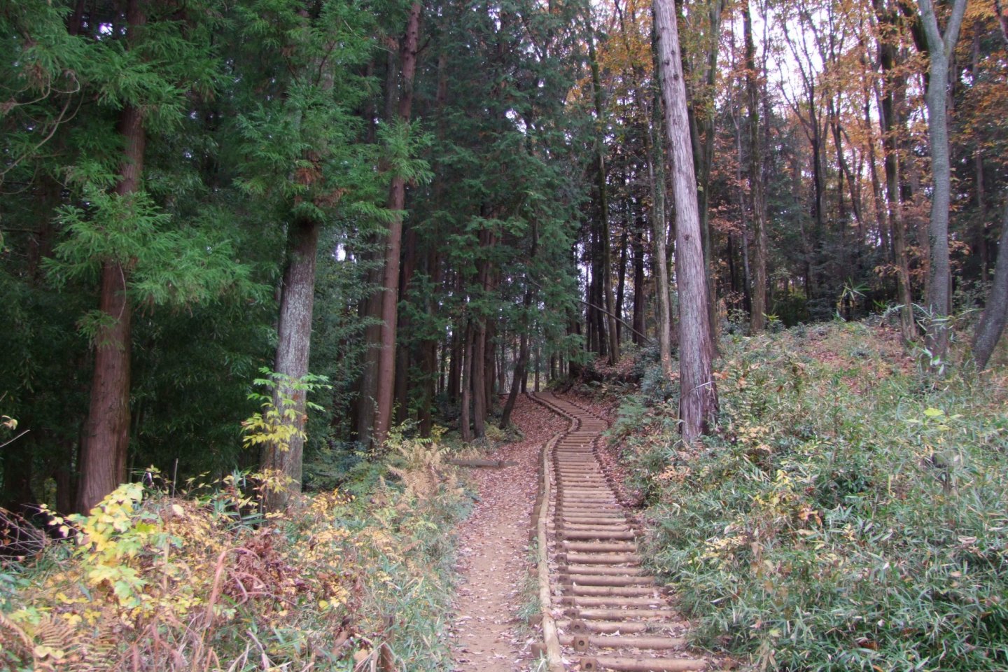
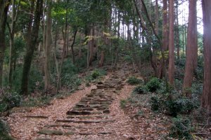
Mount Tonosu (多峰主山, Tonosu-yama) is 271 meters high, and is a very nice place for some easy trekking. Its trails are well maintained and the footing is solid, though it can get a bit sloppy after a rain. For stair-haters, however, some portions of the mountain can be a bit trying. Due to the soft ground, a few long sets of stairs were carved into the trail.
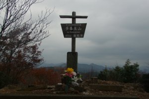
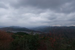
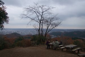
There are a few nice sights to see on Mount Tonosu. The best is, of course, the summit. Tonosu-yama's peak is wide open, which makes for some spectacular 360-degree panoramic views of the surrounding areas. Depending on where you look, you'll get great views of the Chichibu Mountain Range, the smaller cities in the area, and on a very clear day even Mount Fuji is visible. There are some picnic tables and benches set up around the top, making it a nice place to rest for awhile and have some lunch before continuing on with your hike.
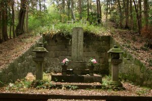
You'll also find the large stone grave of Naokuni Kuroda, a high-ranking statesman in the late 1600's and early 1700's.
Not far from there is the quaint Amagoi Pond (雨乞池, Amagoi-no-ike). Aside from being scenic, this pond is also connected to some old, traditional legends. The pond was a traditional place for people to pray for rain, and there are several historic texts that make reference to it for exactly that purpose. Also, according to legend, the pond never dries out (which I can confirm only as far as the three times I've ever hiked past it).
Mount Tonosu can most easily be accessed in two ways. One common way is to first climb the nearby Mount Tenran (which can be directly accessed from a trail across from Hanno City's Chuo Park), and follow a course off the back end of the peak. Mount Tenran and Mount Tonosu are both quite small mountains, so climbing them both together can be done even by novice hikers. There are plenty of signs in the mountains to point the way to the next mountain, and most of the signs are written in English, so it's easy to navigate. The other option is to take a bus to Nagata-Osugi Bus Stop, and walk a short distance until you find a tall, metal torii gate leading off the road and into the forest (see the photos attached to this article).
