This hike is my favourite so far in the Tokyo region—not only is it quite challenging in places, but there is the stunningly beautiful Tama River at the start and end, a nice temple on the top of Mount Mitake, and nice views the whole way.
I actually discovered the river at the start by accident. When I arrived at Mitake Station, my intention was to catch a bus for 10 minutes to the bottom of the cable car, at Takimoto, from where I was going to start the hike. However, I arrived a bit earlier than expected, and due to it being Golden Week, the line for the bus was ridiculously long. So, I decided to ask at the information centre how to walk to Takimoto. I was handed a map and the man recommended that I go along the river.
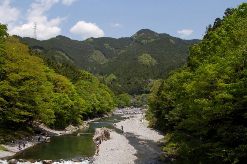
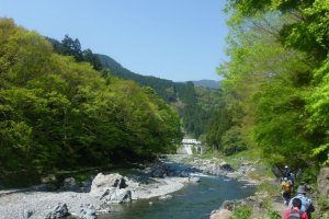
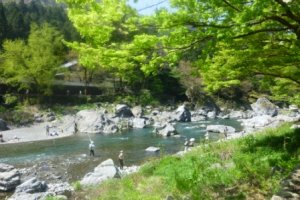
The river is actually just below the station, and is stunning! It flows quite quickly and the contrast of the grey rocks, the turquoise water and the green trees on the banks just has to be seen. There were a lot of people fishing in the river and having picnics along the bank, and some people were even braving the cold water and wading in.
The walk to Takimoto follows the river for about 15 minutes, and then, after crossing the bridge, climbs constantly to the cable car station for approximately 20 minutes. From here, you can opt to take the cable car, or, if you do as I did, you can walk along a narrow concrete road that winds its way through the forest to the top. It is quite steep for the majority of the 2.5km, but the sense of achievement when you reach the end is worth it.
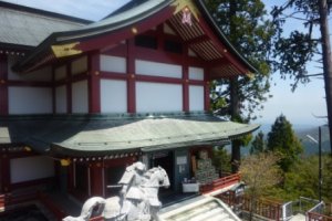
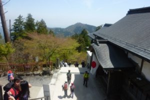
Once you arrive at the top of the road, you, along with everyone who arrived on the cable car, then walk for a further 10 or 15 minutes to the peak of Mount Mitake, where there is an impressive shrine. It always amazes me in Japan that there are these amazing structures built on the top of mountains. After checking out the shrine, I headed towards Mount Odake (大岳). There are two possible routes, with the higher track along the ridge being the more challenging. This track passes over two peaks, before joining the lower track. The combined track then climbs steadily to an abandoned mountain hut. From here, the climb to the peak of Mount Odake is quite tough, and it took me about 25 minutes.
Once at the top, I had a well earned rest and ate my onigiri (rice ball). There were quite a few others doing the same. From here it is mostly downhill to Okutama Station (奥多摩駅), via Mount Nokogiri (鋸岳). There are some parts where the descent is very steep, and others where it is more gradual. There were also a few places where I thought to myself "I thought I was meant to be going down...", but these uphill sections didn't last too long. Towards the very end there is a very, very steep stairway—be very careful not to slip here. Shortly after the bottom of the stairs there are about three different options to get to Okutama Station. I took the option that goes through a shrine. The track comes out just near a bridge and the river. The train station is a very short walk from the bridge.
My total walk time, excluding breaks, was 6 hours. Just a little longer than my Mount Takao to Mount Jimba hike.




It took me ~7hours total time at a considerable pace and only 15 mins spent at Mitake Shrine,15 mins at Ayahiro Falls, 15min Odake ( photos on the way)
(I've not used the bus or the cablecar) . Great route!
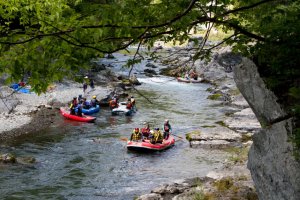
I also recommend a dip in the river in Okutama