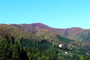
Looking at a physical map of Japan, you can see an abundance of mountains, most of which are of volcanic origin. There are also active volcanoes, including the dormant Mt. Fuji, or Fuji-san in Japanese.
Active volcanoes
Japan's volcanoes occur because the islands of Japan are located at the junctions of several tectonic plates. Collisions between these plates generate fault lines and every day, Japan's seismic stations register tremors that can sometimes develop into devastating earthquakes. The result of all of this movement is about 450 volcanoes in Japan, of which 110 are active.
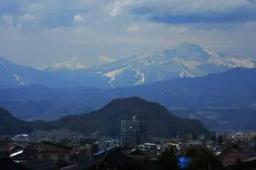
The Asama volcano, located in Gunma Prefecture, 140 km from Tokyo, is considered the most active. At a height of 2,568m, there have been 130 recorded eruptions with the most recent lava ejection occurring in 2015. The crater of the volcano is constantly smoking.
Aso and Sakurajima volcanoes are also active. Aso, 1592m high, is located in Kumamoto Prefecture while Sakurajima in Kagoshima Prefecture is considered the most dangerously active volcano that erupts every year. , a cloud of ash can be seen over the crater of Sakurajima.
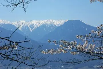
The highest mountains
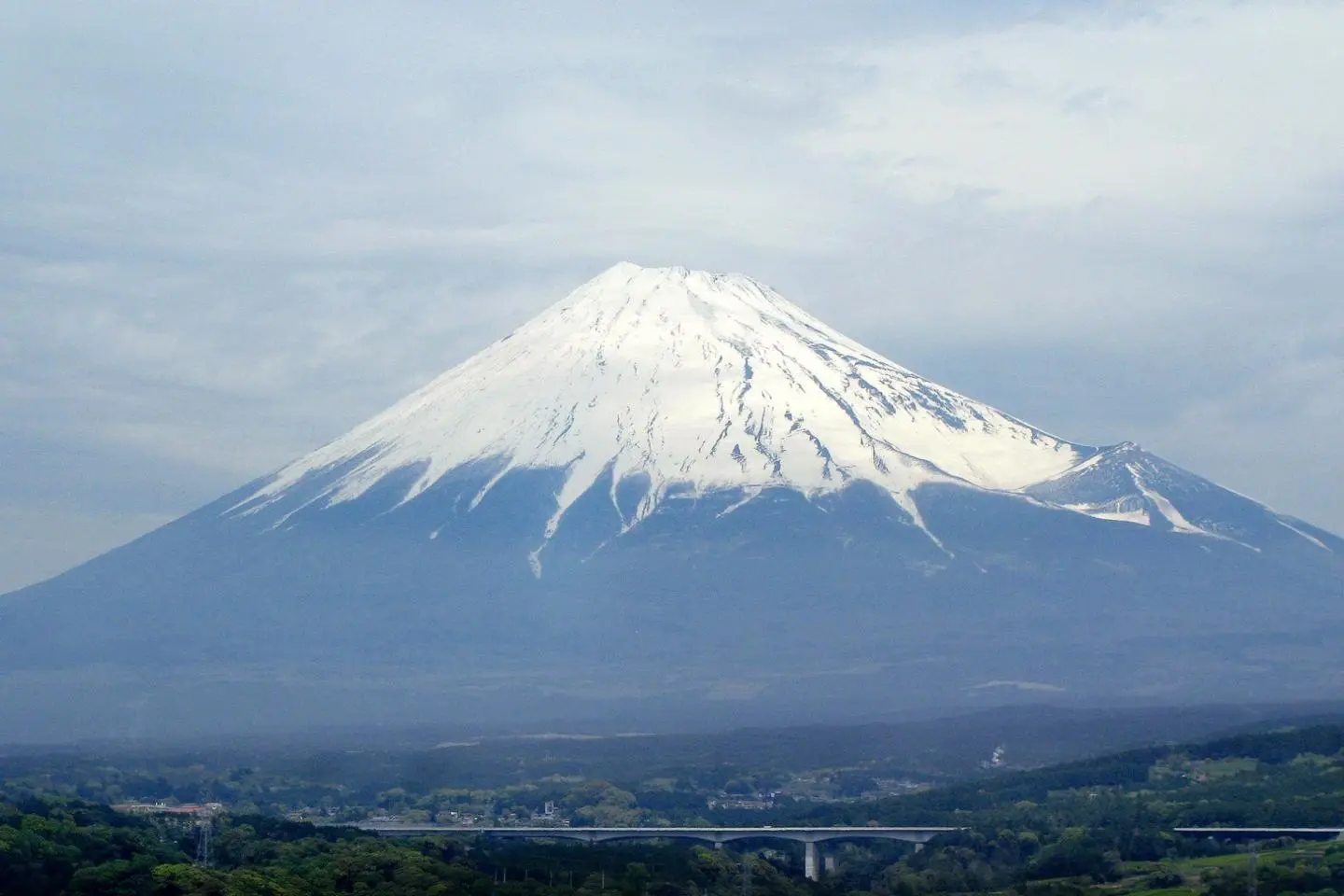
1. Mt. Fuji (Fujisan) is Japan's highest mountain at 3776m. In reality an active volcano, Fujisan is located on the border of Shizuoka and Yamanashi prefectures.
2. Mt. Kitadake, at 3193m, is the second highest mountain in the country. Non-volcanic, the mountain is located in Yamanashi Prefecture.
3.Mt. Ainodake & Mt. Okuhotaka are both 3189m in height. Located in Yamanashi Prefecture, their peaks are accessible to beginner climbers and trekkers during July, August and September.
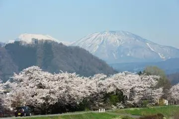
4. Mt. Asahidake, at 2291m, is an active volcano, continually releasing hot gases, though its last eruption was in 1739. Located in the Daisetsuzan National Park, it's the highest peak in Hokkaido.
5. Mt. Iwate last erupted in 1732 and, at a height of 2038m, is part of a series of stratovolcanoes in the Ou mountain range in Iwate Prefecture. The 1732 eruption led to a significant lava flow on the northeastern slope with the government declaring the resulting 4km-long lava flow a natural monument.
Mountain ranges
1. The Northern Hida range stretches for 140km across Nagano, Toyama and Gifu prefectures. Its mountain peaks reach heights of more than 3100m. The highest are Mt. Tateyama at 3015m and Mt. Hotaka at 3190m. The western slopes feature, at 10-20m, Japan's largest snow drifts known as Yuki-no-Otani (Great Snow Canyon).
2. The northern Ou range stretches for 400km between Aomori and Fukushima prefectures. The range consists of seven groups of volcanoes with the highest point being the Iwate volcano at 2041m. The range includes the active Bandai volcano, which, at 1819m is notorious for the death of 461 people in 1888 as a result of mud avalanches following an eruption that year.
3. The central Kiso range in Nagano and Gifu prefectures runs for about 150km and its highest peak is Mt. Komagatake at 2956m. The range here is covered with dense coniferous forests while the steep slopes of granite rock have been cut deeply by the Kiso and Tenryu rivers.
4. The Hidaka range in Hokkaido extends for 100km with an average height of 1400-1800m. The highest point is Mt. Hiroshiri at 2025m while the Central Tokachi range is home to Asahidake volcano.
5. The Kirishima range in Kyushu is a volcanic one. It's made up of 23 volcanoes and rthe highest is Kuju volcano at 1788m.